Overview
Successful construction projects begin with proper planning and site preparation. Before breaking ground, property owners, developers, and contractors must ensure the site is ready for construction to avoid delays, unexpected costs, and compliance issues common to site development in Wyoming. In Wyoming, where weather conditions, terrain, elevation changes, and drainage concerns can vary significantly from one location to another, taking the right steps early can make a substantial difference in overall project success and long-term performance. Proactive preparation also helps minimize construction project delays Wyoming teams face. These fundamentals are central to effective site development Wyoming projects across commercial and residential work.
Summary
This article explains how to prepare a Wyoming site for construction by starting with professional boundary and topographic surveys. Early evaluation of soils, drainage, terrain, and utility access prevents costly conflicts and supports smoother permitting. After design, move into permitting, grading, and accurate construction staking services to build per approved plans. Given Wyoming’s variable climate and landscapes, working with experienced local surveyors and engineers reduces delays and ensures compliance.
Key Steps for Site Preparation
Obtain a Professional Land Survey
A boundary survey helps establish property lines, identify easements, and confirm legal site boundaries. Topographic surveying provides detailed information about elevations, slopes, and existing site features that engineers rely on when designing grading, drainage, and utility plans. Accurate survey data helps prevent conflicts during construction and supports a smoother permitting process with local jurisdictions. Partner with experienced land surveying Wyoming professionals to reduce surveying mistakes and support clear communication with engineers and reviewers.
Evaluate Soils, Drainage, Terrain, and Utilities
Understanding these factors early allows engineers to identify potential challenges before construction begins. Poor drainage, unstable soils, rock conditions, or utility conflicts can create costly setbacks if they are not addressed during the planning phase, especially in Wyoming’s varied terrain.
- Assess soil stability and bearing capacity.
- Map drainage patterns and flood risks.
- Review terrain, slopes, and elevation changes.
- Verify utility availability, capacity, and connection points.
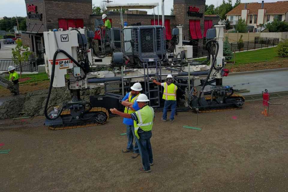
Move Into Permitting, Grading, and Construction Staking
After survey and engineering work is complete, the project can move into permitting, grading, and construction staking. Construction staking services provide contractors with precise layout information, ensuring structures, roads, utilities, and improvements are built according to approved plans.
- Proper staking minimizes errors, rework, and inspection delays.
- Accurate layout helps keep projects on schedule and within budget.
Factor in Wyoming’s Climate and Landscapes
Wyoming’s climate and diverse landscapes can present unique challenges for development projects, including wind exposure, seasonal weather shifts, and remote site access. Working with experienced engineers and surveyors helps property owners navigate local requirements while ensuring their site is properly prepared for construction. Whether the project involves commercial development, residential construction, or public infrastructure, a well-prepared site creates the foundation for a successful build and helps minimize delays throughout the entire construction process.
Q&A
What are the first steps to prepare a site for construction in Wyoming?
Start with professional boundary and topographic surveys, then evaluate soils, drainage, terrain, and utility access. This information guides engineering design, reduces conflicts, and supports smoother permitting, setting the project up for an efficient transition into grading and construction.
What’s the difference between a boundary survey and a topographic survey, and why are both important?
A boundary survey establishes legal property lines, identifies easements, and confirms site limits—often documenting easements and monuments carefully to meet Wyoming expectations. A topographic survey maps elevations, slopes, and existing features that engineers need to design grading, drainage, and utility plans. Together, they provide accurate data that prevents construction conflicts and streamlines permitting.
Why is early evaluation of soils, drainage, terrain, and utilities critical in Wyoming?
Wyoming’s varied terrain and climate can expose issues like poor drainage, unstable soils, rock conditions, and utility conflicts that are costly if discovered late. Reviewing these factors early lets engineers address challenges in design, reducing surprises, delays, and added expense during construction.
What happens after survey and engineering are complete?
The project moves into permitting, grading, and construction staking. Construction staking gives contractors precise layout information so structures, roads, utilities, and improvements are built per approved plans, minimizing errors, rework, and inspection delays to keep schedules and budgets on track.
How do Wyoming’s climate and landscapes influence site preparation, and why work with local professionals?
Wind exposure, seasonal weather shifts, varying elevations, drainage differences, and remote site access can complicate development in Wyoming. Experienced local surveyors and engineers understand these conditions and local requirements, helping ensure compliance, reduce delays, and support successful commercial, residential, and public projects.